

In 2013, after I had organized and delivered to City Council a design challenge to save the MLK Viaduct, I was told by a few lower-level representatives from the award-winning Brooklyn design firm SCAPE Landscape that the viaduct had to go. So, too, did the Jefferson Street Viaduct, which like the MLK V crosses the Town Branch creekbed on a beheaded roadway that constricts car traffic and improves biking opportunities. Removal of these two important north-south connector bridges was required, the SCAPE representatives claimed, to enhance the downtown “viewshed.”
In 2013, SCAPE’s word was solid gold. The firm had just won Lexington’s international design challenge to construct the $75 $85 million Town Branch Commons, a still-incomplete 2.2 mile hike-bike trail extending from the gentrifying East End to a park set in the back stretches of the Lexington Convention Center. SCAPE’s winning design, promoted locally as being “the most authentic to Lexington” and “clearly implementable,” called for the removal of both viaducts.
Eleven years later, it appears that both city leaders and Brooklyn firm have quietly abandoned their viewshed idea for the Martin Luther King Viaduct. (Another way to state it: these groups, award winners all, finally came around to agreeing with the central purpose for my Mayer’s Town Branch Commons design challenge.)
The Jefferson Street Viaduct, however, was not so lucky. It was demolished in 2018, I’m sure much to the consternation of West Sixth bikers and other patrons along the Jefferson Street commercial corridor who used the viaduct to travel south to Country Boy and other University of Kentucky -area commercial establishments.
I must admit, I’ve gotten some good laughs out of the SCAPE/Lexington “viewshed” argument for tearing down existing, large, functional, and re-purposable bits of city infrastructure. But last week, not long after enjoying my latest round of hearty viewshed guffaws on air with the WRFL hosts of Radio Free Eskippakathikki, it occurred to me that maybe I should revisit the former Jefferson Street viaduct. Check things out.
Who can say? Maybe SCAPE/Lexington was right. Maybe the viewshed has improved with the viaduct’s demolition. Maybe it has improved so much that I should stop telling jokes about the gobsmacking money and energy that my city’s leaders and its hired starchitects will expend for a kickass Kentucky view. So I hopped in my truck, parked nearby Stella’s, and took a walking tour of the viewshed created by the demolition of the Jefferson Street Viaduct.
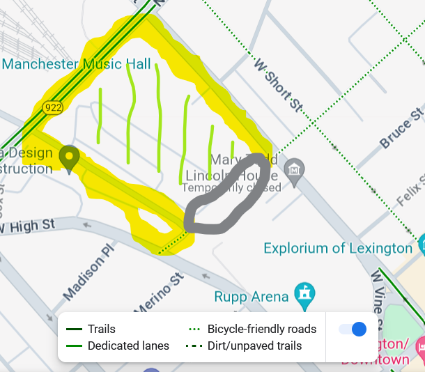
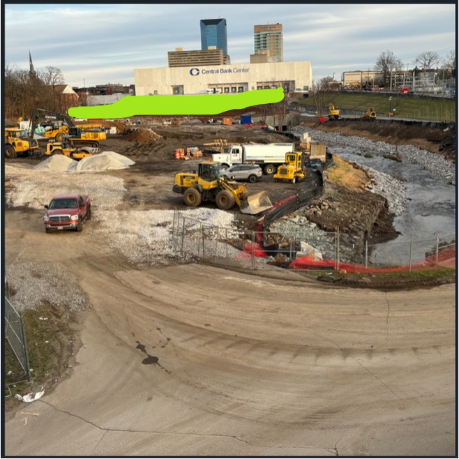
Here is a map with my tour route generally marked in yellow. Gray oval marks the former viaduct location. And green stripes mark the viewshed: the Town Branch (TB) Park.
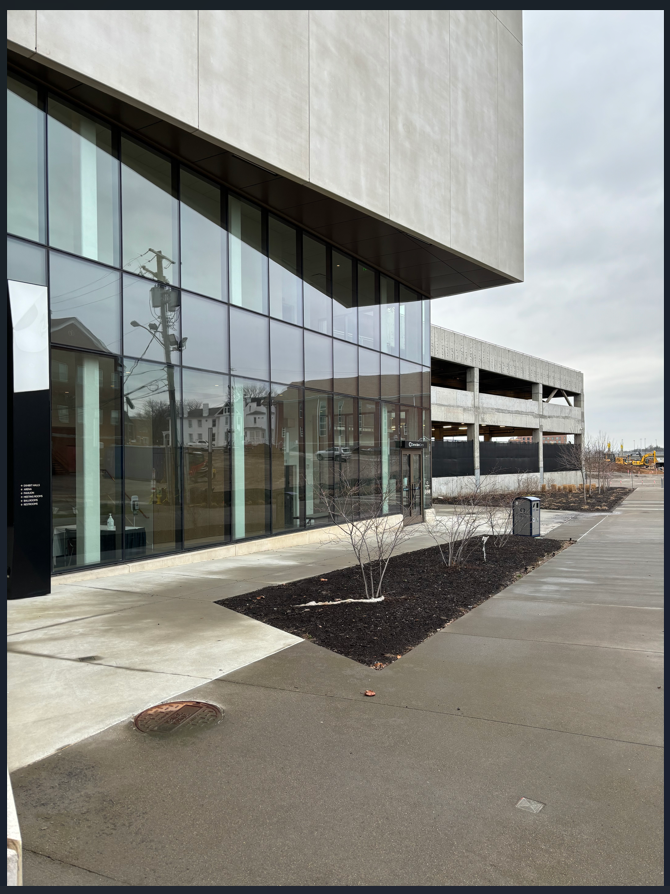
Facing the now-removed viaduct from Main Street, here is that increased viewshed city leaders have delivered residents.
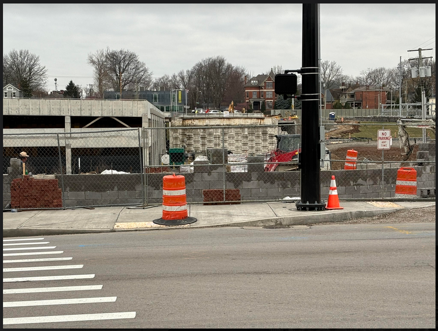
Granted, one day construction will end, and things will look prettier. But in terms of a viewshed into the Town Branch Park, it appears that a random few visitors to the Rupp Arena parking deck (picture left) will receive roughly 60 feet more of it.
Meanwhile, the viewshed is enlarged equally slightly for those Jefferson Street bikers leaving the Green Lantern and heading south toward the UK campus. But can their view said to be improved? Or will the slightly enlarged open expanse compel a feeling of frustration, a civic loss?
I trudged another quarter-mile down Main and hung a left onto Oliver Louis Way, the new viaduct completed in time for the 2010 World Equestrian Games. For those willing to walk the Oliver Louis auto-thoroughfare, the view (er…future view) looks quite nice. Open and expansive.
But is the viewshed increased? I’m not so sure. Here is the same image with the now-obliterated Jefferson Street Viaduct outlined in green. Will the viewshed enthusiast walking the Oliver Louis Viaduct gain much from the demolition? You decide.
Still trying to keep an open mind, I continued on Oliver Louis and then turned left onto an access road for the Convention Center that runs about 50 feet below High Street.
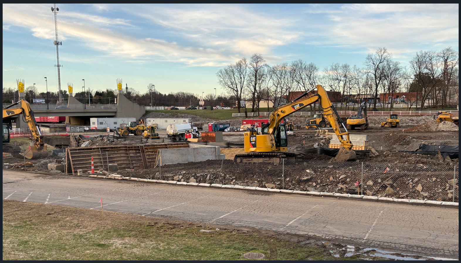
Eventually, I made my way to High Street, the place where the Jefferson Street Viaduct had formerly stood. Here’s where the chuckles re-appeared.
And I guess a bit of frustration. Turns out, we really are just being taken for small-town rubes. Our city leaders and Brooklyn starchitect really did bully city residents into building the most expensive hike-bike trail in city history (about $40 million/mile, currently) by using blatantly ridiculous statements like the need for improved viewsheds and symbolically re-surfacing a creek to improve a few acres of surrounding land value.
Standing here, one can view Jefferson Street on the other side of TB Park as it runs north out of the picture, toward Stella’s and my truck. You may notice the hilariously paltry increase in viewshed, but what I notice as a former user of the Jefferson Street Viaduct is the image’s depth and height.
In removing the bridge, all travelers on High must now funnel three stories down into a creek bed. They will then be directed around whatever meandering TB pathways that our designers bulldoze into existence. Then they will route another two stories back up to Jefferson in order to complete their crossing.
For a car, which gains energy by burning fossil fuel and travels at city speeds of 20-40 miles per hour, these increased measures are no big deal. For a biker or a pedestrian, who burn their own human energy and who transit at one-half to one-eighth the speed of carbon-burning transit, the city/SCAPE design presents a restriction on movement.
Here is your new pathway down, bikers.
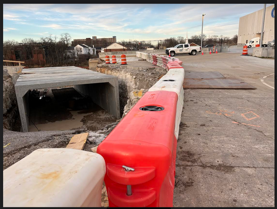
Note the concrete box. A road will go on top, because our city leaders damn sure understand the value of maintaining preferred transit connections when it comes to cars and trucks and vans.
Coda: the Town Branch Slip-Through
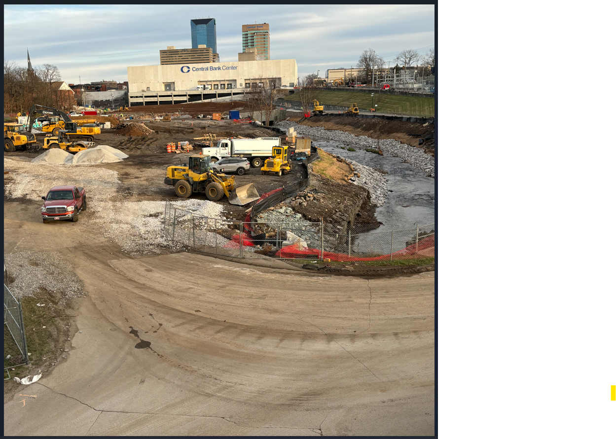
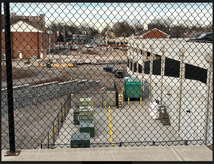
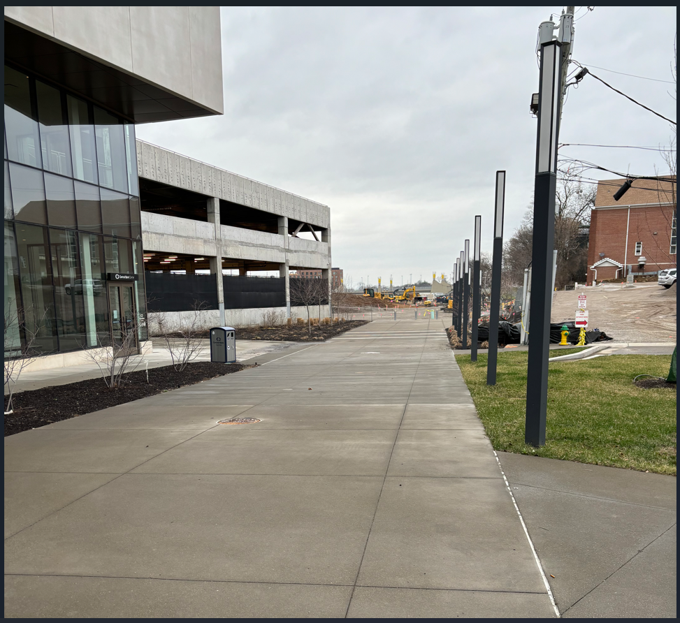
After retracing my route back to the intersection of Main and Jefferson, I walked along the back edges of the Convention Center, where I spied the Town Branch Slip-Through. Here, a second group (beyond the few transit visitors to the Rupp parking garage) experience a greatly improved viewshed owing to the Viaduct’s removal.
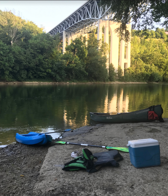
Lexington leaders are fans of redundancy. Take, for example, the city’s recent choice to locate its first ever boat access to the Kentucky River…..
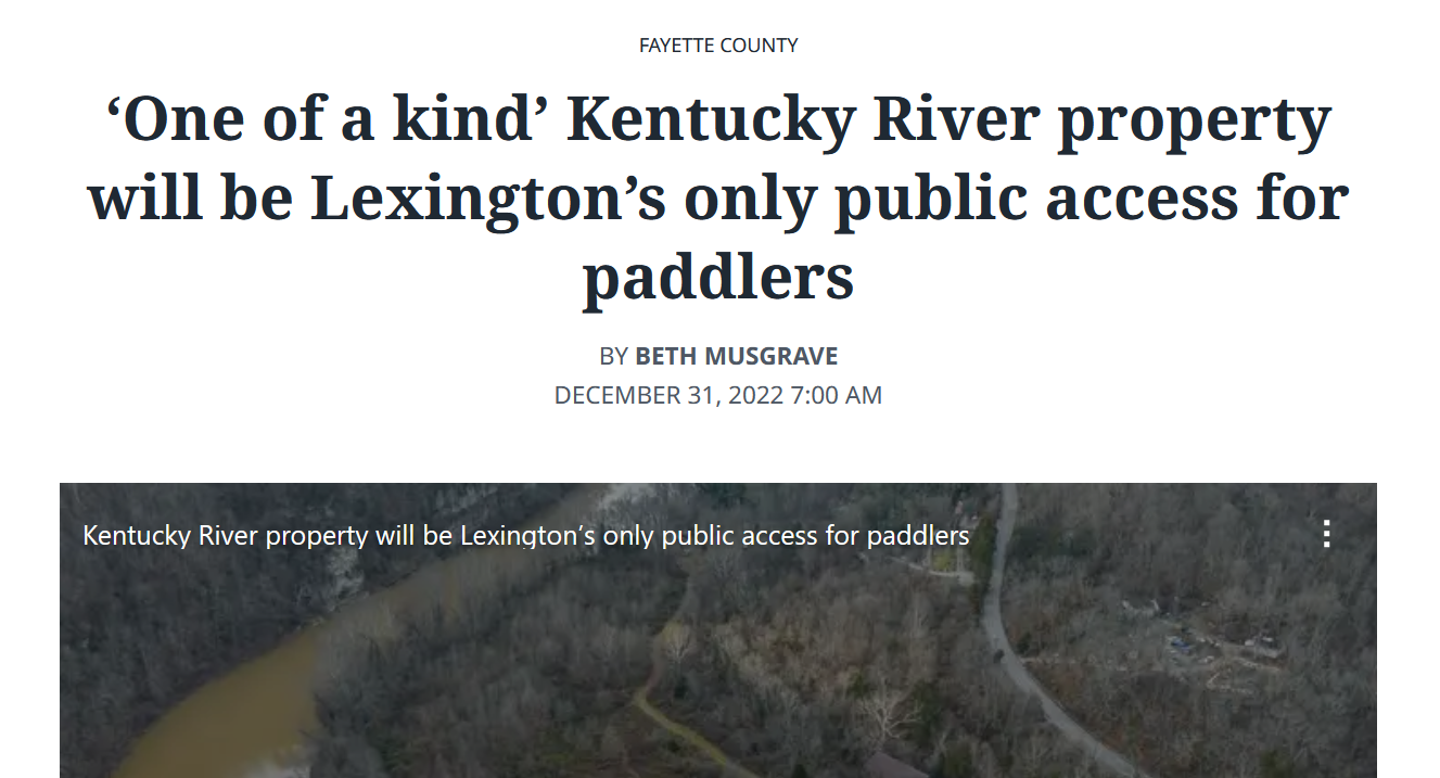
….a mere 200 yards from an already existing, free-of-charge, already-much-in-use, boat ramp to the Kentucky River. Redundancy!
Back downtown, city leaders have achieved redundancy by placing the TB Slip-Through a full three historic city buildings down Main from the TB Park’s Main/Jefferson Street entrance.
The Slip-Through appears to be where the TB Commons enters the park, perhaps making the Main/Jefferson Street entrance the redundancy. Either way, in the thin corridor of the TB Slip-Through, the demolition of the Jefferson Street Viaduct provides east/west bikers and walkers a couple minutes of extra viewshed as they move into the park.
The biggest viewshed winners, though, sit just above the Commoners who use the trail. In an uncommon moment of genuine synchronicity, city convo and Brooklyn trail design seamlessly merge at the TB Slip-Through.
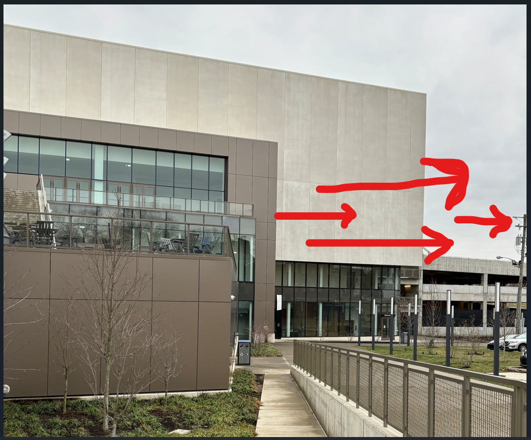
Here, Convention Center patrons can enjoy a wonderful, elevated, west-facing viewshed that is absolutely enhanced by the destruction of the city’s north-south biking connector, the former Jefferson Street Viaduct. For them, the view’s quite nice.
Leave a Reply